Lower Mill UAS
  • ELEVATED

    GEOMATICS

  • "MARK WELL THE LAND.
    ​IT IS OUR MOST VALUABLE ASSET ."

    George Washington

WELCOME TO LOWER MILL UNMANNED AERIAL SYSTEMS

We strive to elevate the pillars of Geomatics through streamlined aerial workflows that support the full lifecycle of residential development. Using drone technology and GNSS sensor fusion, we capture high-resolution, georeferenced datasets that assist with land clearing, monitor earthwork progress, verify construction phases, and support post-build inspections. Our data empowers builders, insurers, and utility providers with the spatial insights needed for accurate analysis and confident decision-making.

"With a focus on quality and clarity, we turn complex landscapes into actionable, visual intelligence"

Jakim Fignole

OUR SERVICES

Each service is backed by GNSS-enabled workflows and processed for integration into industry-standard analysis and reporting tools.

Our Core Drone Services for the Residential Sector:

No Compromises

Our mission is to bring clarity, accuracy, and efficiency to every stage of land development—starting with pre-clearing terrain analysis and continuing through to final property inspections. We help land clearing companies understand topographic complexity, enable contractors and stakeholders to track development progress with precision, and support homebuilders with construction verification throughout the build cycle.


Once construction is complete, we extend our services to insurance providers, offering detailed aerial inspections for underwriting and claims. We also work with utility companies to identify aging or damaged infrastructure through pole audits. Whether you're overseeing a master-planned development or evaluating a single property, our team is committed to delivering reliable, actionable aerial data with professionalism and precision.

CONTACT

Pre-Clearing Terrain Analysis
High-resolution aerial imagery and topographic mapping to assist land clearing crews in assessing vegetation density and slope complexity.

Land Development Monitoring
Weekly, bi-weekly, or monthly flights to help earthwork contractors, surveyors, and project managers track site progress, verify grading, and perform cut-fill analysis.

Construction Progress Tracking
Ongoing aerial documentation for builders and stakeholders to monitor each phase of residential construction from foundation to final build.

Property Inspections for Insurance
Drone-captured imagery and data for underwriting support, roof inspections, and post-claim damage assessments—delivered with insurance-grade accuracy.

Utility Pole Audits
Aerial inspections of utility poles to identify wear, leaning, vegetation encroachment, or potential hazards requiring maintenance or replacement.

40+ Master Planned Developments Monitored

from 50 to 1500+ Acres. Starting at Clearing, Ending at Occupancy

1000+ Utility Poles Inspected 

Keeping Service Providers in compliance with their SLA's.

2500+ Miles Flown

Automated and Manual. We do it all.

Our Core Philosophy

We believe great geospatial work begins with clarity, efficiency, and purpose. Our philosophy is rooted in the idea that technology should enhance, not complicate the process of understanding the world around us. With a focus on real-world value, we aim to make spatial data more accessible, insightful, and impactful.

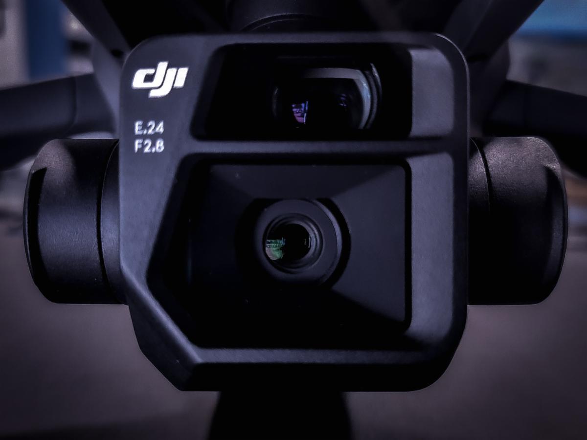
Drones are our tool. 
Precision is our standard.

Operations Team

WHAT PEOPLE SAY ABOUT OUR WORK

Our clients trust us to deliver consistent, accurate, and impactful results—and we don’t take that lightly. Whether it’s a one-time inspection or ongoing aerial monitoring, we approach every project with the same attention to detail and dedication to quality. But don’t just take our word for it. Hear what our clients have to say about working with Lower Mill UAS